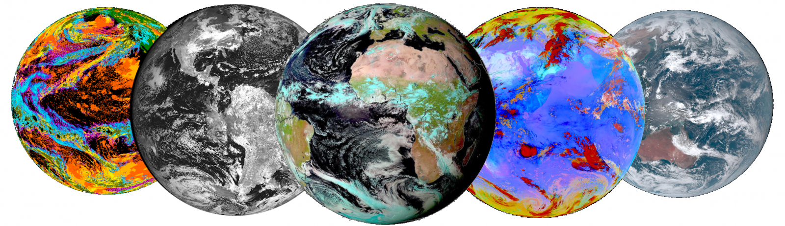
AERIS/ICARE is providing access to an archive of level-1 data and derived products for several meteorological geostationary satellites and particularly the MSG, GOES-NG and HIMAWARI series. The full data archive is available under: https://www.icare.univ-lille.fr/asd-content/archive/?dir=GEO/
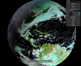
GEOVIEW-3D: A complete view of the Earth, day and night at hourly resolution for the past 10 days produced by merging data from the GEORING. An easy and fun way to discover and observe atmospheric events from the past 10 days.
and start discovering with the GEOVIEW-3D.
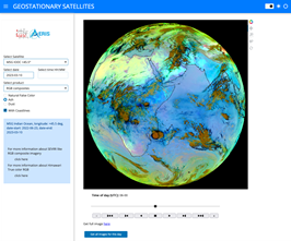
GEOVIEW Dataviz: A more comprehensive solution for interactive visualization of all geostationary data currently available at ICARE. The GEOVIEW Dataviz application let you browse through the full imagery database created for the geostationary level-1 data and products.
and start exploring with the GEOVIEW Dataviz.
Tools, Software and Data orders
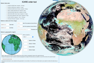
Users who would like to obtain a subset of data can place order through the Order GEO interface here.
The full data archive is also directly available under: https://www.icare.univ-lille.fr/asd-content/archive/?dir=GEO/
Data can be easily obtained by registered users through http of sftp download directly from the archive.
Additional tools for handling GEO data are available under our tools section : https://www.icare.univ-lille.fr/tag/msg-project/
Data Policy
All GEO data distributed by AERIS/ICARE are subject to specific data policies defined by original data providers. In particular, users should read and adhere to the General guidelines for use of meteorological satellite products distributed by EUMETSAT and Météo-France through SATMOS and AERIS/ICARE. (click to read)