AERIS partner in the C3IEL mission
As part of the future C3IEL space mission, the CNES has chosen to entrust AERIS with the operation of the French part of the data processing and distribution centre.
C3IEL (Cluster for Cloud Evolution, ClimatE and Lightning) is a joint space mission between the French (CNES) and the Israeli (ISA) space agencies. It relies on a cluster of synchronized nano-satellites mainly focused on the study of convective clouds at high spatial resolution. It will be a scientific and technological world first, by making it possible to measure the convective clouds updraft together with water vapor and lightning observations.
The different nano-satellites of the C3IEL mission (2 or 3 to be defined) will carry visible spectrum cameras (CLOUD) measuring at a spatial resolution of about 20 meters, near-infrared imagers (WV) measuring in and around water vapor absorption bands (500 m resolution), optical lightning sensors and photometers (Zeus). The observational strategy for the imagers will consist in multi-angular observations of a given cloudy scene during the 200 seconds of the overpass with instantaneous stereoscopic pairs captured every 5 to 30 seconds (configurable). Lightning observations will be made continuously during the same time. The measurements of these space-borne sensors will consequently simultaneously document the vertical cloud development retrieved by a stereoscopic method, the lightning activity and the distribution of water vapor at a high resolution by exploiting the multi-angle acquisitions for application of tomography methods.
The cost of the mission will be shared between France and Israel with balanced contributions. CNES will provide the satellite platforms and ISA will be in charge of the payload instruments.
The detailed architecture of the ground segment is currently being defined but, on the French side, CNES will develop the geometric processing of the high-resolution imagers (3D reconstruction of clouds) and will entrust AERIS with the integration of the level 1 and level 2 processing chains in the ICARE Data Center as well as the production and dissemination of data when the satellites are in orbit. The processing algorithms for level 2 and 3 products will be designed by the scientific laboratories involved in the project and made operational by AERIS.
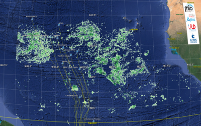
Clouds are key elements of the Earth climate system. However, lots of uncertainties remain about their evolutions and their roles in the context of climate change. Thus, increasing our knowledge of the cloud development processes and their interactions with water vapor and aerosols is essential for our understanding of the ‘Earth System’.
Through its participation in this innovative project, to produce and distribute the data, AERIS puts itself at the service of the French scientific community to contribute to the national effort in the framework of research on climate change.
C3IEL scientific objectives: measurements of the temporal evolution of clouds in 3D and at decametric resolution, together the associated lightning activity and the surrounding water vapor field.Quantifying the convective cloud vertical velocity and the associated mixing rate Investigating the relationship between cloud physical and cloud dynamical properties Separating dynamical effects from aerosol impact in convective cloud development Studying the lightning activity in convective clouds according to their dynamical and microphysical properties Documenting the repartition and size of convective clouds and individual eddies of few hundreds of meters Studying the link between lightning activity and upper tropospheric water vapor.