CATS L1B V3-00 and L2O V3-01 data products available July 2019

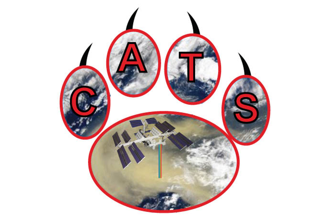
NASA’s Cloud-Aerosol Transport System (CATS) is a lidar remote sensing instrument on the International Space Station (ISS). During its life span of 33 months, from 25 March 2015 through 29 October 2017, CATS provided measurements of cloud and aerosol profiles similar to CALIPSO.
CATS Level-1B Version 3-00 and Level-2O Version 3-01 data are now available both in the ICARE archive and at NASA/ASDC.

More news

Highlights

New GEORING Day-night imagery product available at AERIS/ICARE

ICARE is pleased to announce the first release of its new GEORING day-night imagery product. The GEORING imagery is currently generated at hourly resolution using a combination of data from the constellation of 5 geostationary meteorological satellites. The short video below illustrates 3 days of GEORING imagery from February 9th to February 11th 2023. The […]

14.03.2023

Gallery

DROWN BY THE RIVER …

In late December 2022 and for most of January 2023 an atmospheric river (yellow plume over North Pacific Ocean) transported vast amount of water vapor from the tropical belt across Pacific up to west coast of North America, leading to record precipitations in California especially when it combined with the extreme event that developed on […]

06.02.2023

Highlights

CALIPSO Lidar Level 1 Product Version 4.51 Data Release

The CALIPSO mission team, in collaboration with the Atmospheric Science Data Center (ASDC) at NASA Langley Research Center, announces the release of a new CALIOP Level 1 Product: CAL_LID_L1-Standard-V4-51 The product is available beginning with data from June 13, 2006 (following CALIOP first light), and as of this announcement, through December 31, 2010. Remaining data […]

08.09.2022

Search