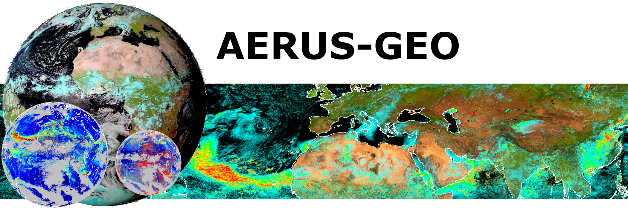
Recent progress of the AERUS-GEO project for global observation of aerosols from geostationary satellites
Over past years CNRM has developed with support from AERIS/ICARE the AERUS-GEO suite of Aerosols and Surface properties products (https://www.icare.univ-lille.fr/projects/user-driven-projects/aerus-geo/).
Initially aimed at providing a daily averaged Aerosol Optical Depth (AOD) from SEVIRI sensors aboard the MSG satelliteseries, the project is now about to provide retrievals of aerosol properties at 15-min intervals thanks to the new i-AERUS-GEO algorithm (currently under validation).
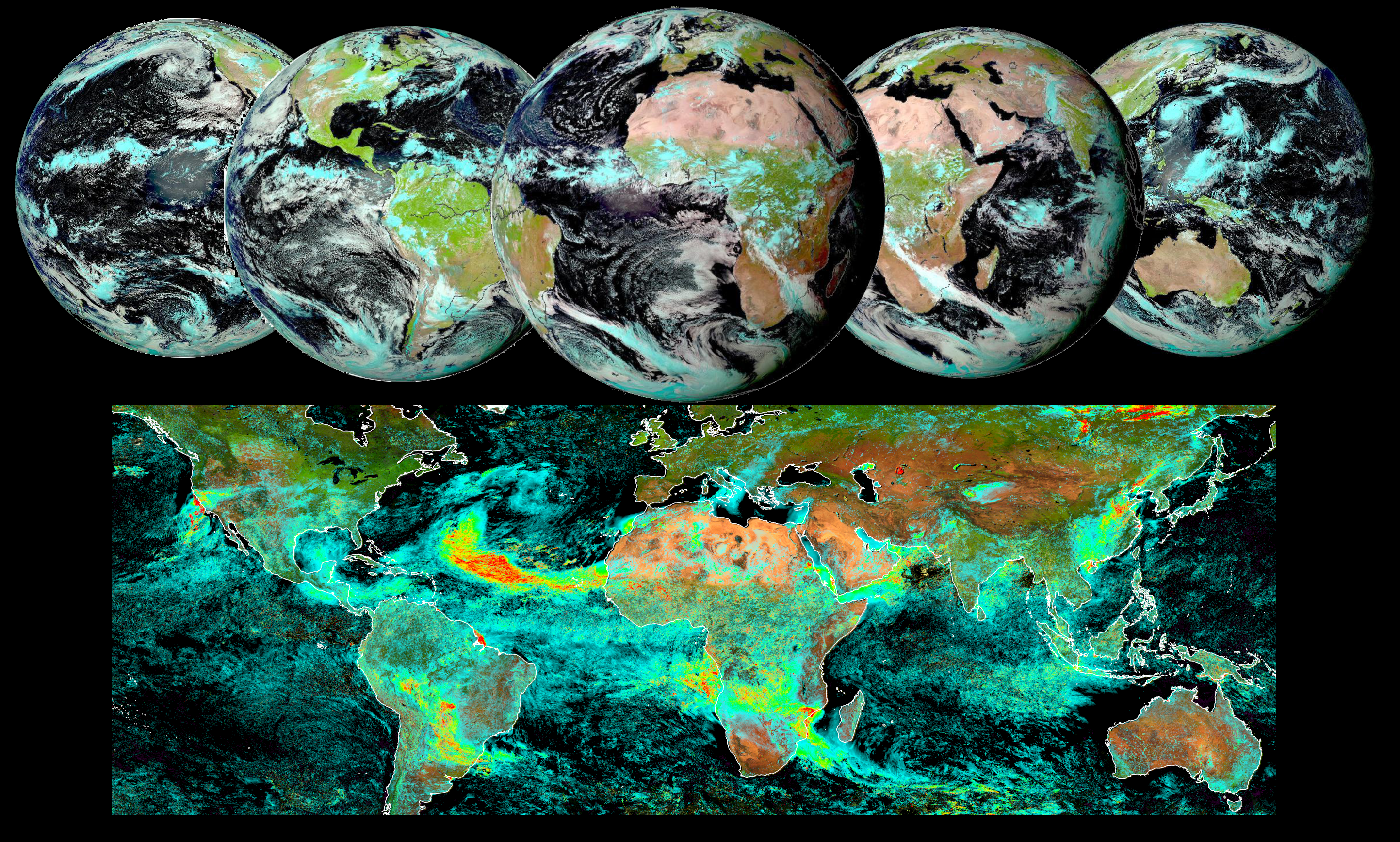
Also, thanks to the GEO archive maintained at AERIS/ICARE we are currently developing a full GEO-ring AERUS-GEO product whereby merging the observations of imagers on five geostationary platforms (MSG-0°, MSG-41,5°E, HIMAWARI, GOES-E and GOES-W) we can derive aerosol properties over the quasi-global zone covered by meteorological operational geostationary satellites.
We present here a first snapshot of the product currently under development. The image below illustrates the five GEO imagers used for the product and presents the daily average AOD obtained for August 31, 2020 superimposed on a false color composite image derived from the surface albedo derived by AERUS-GEO for the corresponding period.
The animation available below illustrates the daily average AOD obtained from August 10, 2020 to August 31, 2020. A striking massive aerosol dust event blowing out of Sahara and transported aloft the Atlantic Ocean is clearly visible from the animation as well as wild fires in California and other noticeable aerosols plumes all over the globe.
Once in full production mode at AERIS/ICARE, the AERUS-GEO products developed by CNRM & ICARE will provide 15-min global aerosol properties from the GEO ring.
A first example of global retrievals obtained from February to November 2020 illustrates below the interest of multiple GEO to follow the emission and dispersion of aerosols worldwide.
With the increasing availability of more advanced GEO sensors and once Meteosat Third Generation becomes available, the AERUS-GEO products will provide an unprecedented source of information for global monitoring of aerosols and air quality worldwide.
Find more information about AERUS-GEO here:https://www.icare.univ-lille.fr/projects/user-driven-projects/aerus-geo/
The AERUS-GEO project has been developed with support from CNES, CNRS and EUMETSAT
Image and Video credits : AERIS/ICARE – CNRM – 2020