CALIPSO: OFFICIAL END OF SCIENCE MISSION


After 17 years of good and loyal service, the space agencies, CNES for France and NASA for the USA agreed to end the CALIPSO science mission on August 1, 2023.
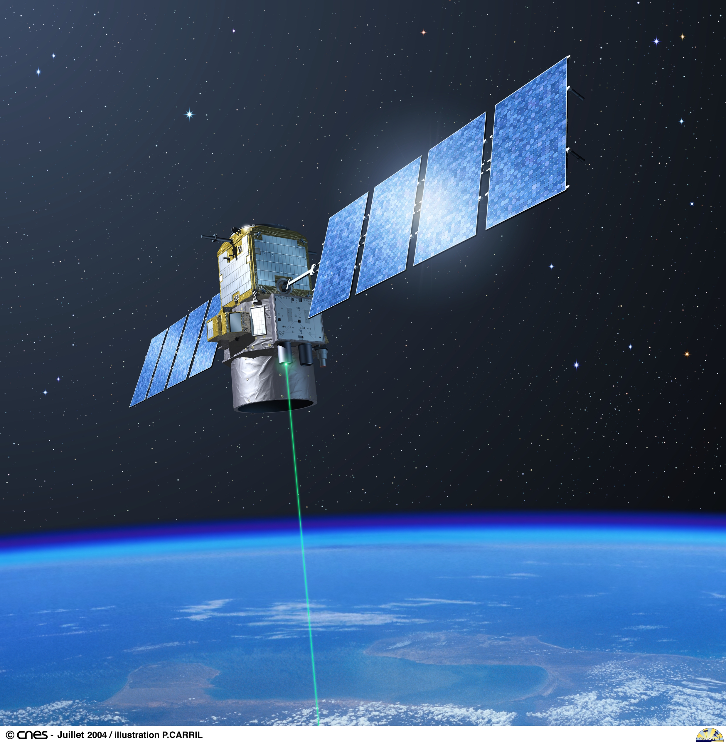
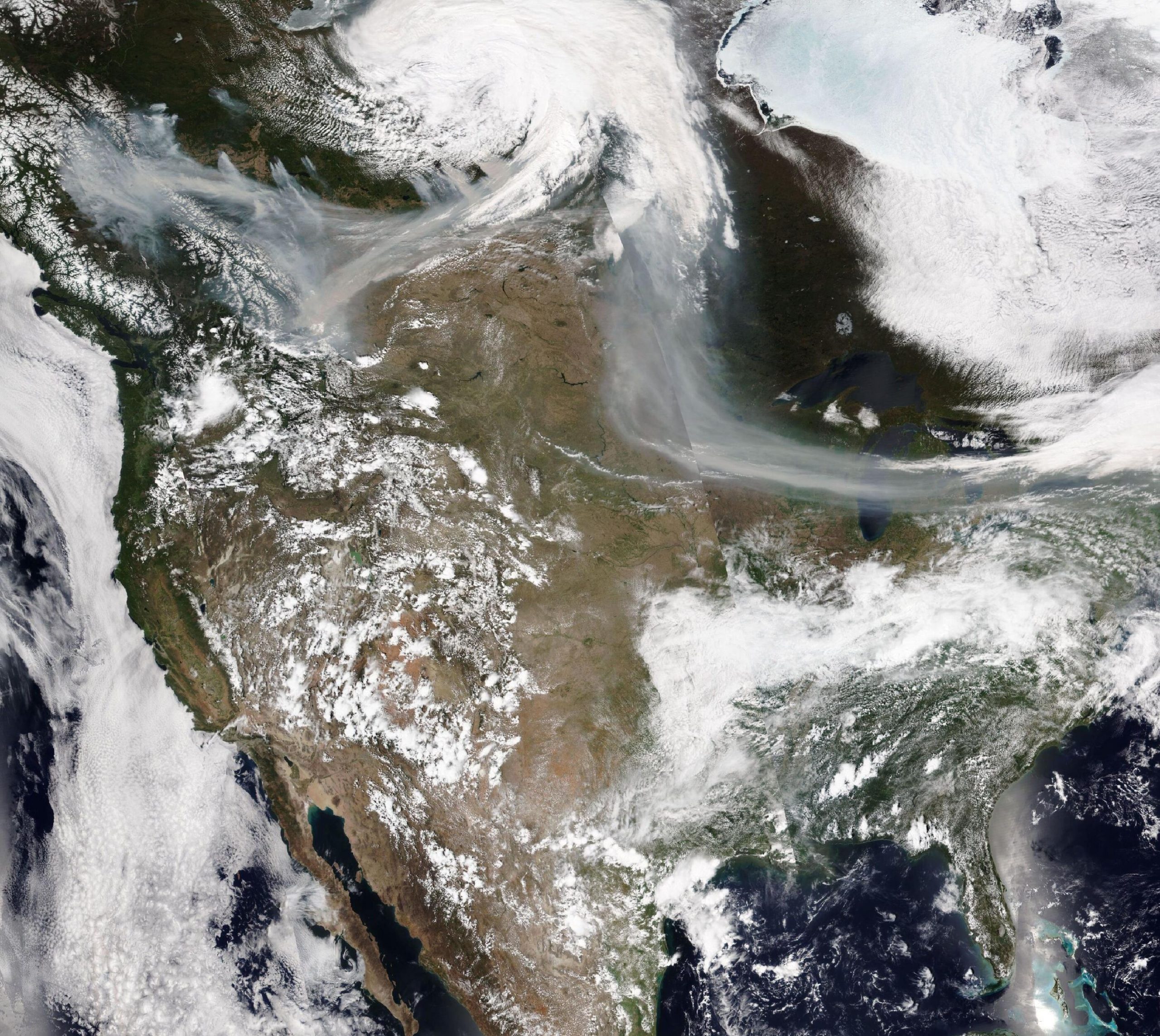
This mission has been highly successful. Originally designed for a lifetime of 3 years, CALIPSO delivered unprecedented measurements of the vertical structure of the Earth’s atmosphere for 17 years. The combined measurements of the 3 instruments on-board, the CALIOP LIDAR, the IIR infrared imager and the WFC wide-field camera gave highly valuable insights of the vertical structure and radiative properties of clouds and aerosols in the Earth atmosphere.
Within the Aqua-Train satellite constellation, CALIPSO has increased its potential by combining its measurements with those of the CloudSat RADAR, thus exploring and specifying the requirements of future missions.
Fuel reserves are now exhausted, and in its decaying orbit the satellite can no longer generate sufficient power to operate the science instruments. The CNES teams will, however, continue to operate CALIPSO for a few more months, in order to carry out technological experiments and then the final passivation before the satellite’s final extinction at the end of 2023.
Over the next two years, the project will continue to refine and document its extensive data products catalog and will notify the community as these products are updated. A final reprocessing is planned with the latest versions of the algorithms by 2025 and the project will will notify the community as these products are updated.
Related URLS:
https://asdc.larc.nasa.gov/news/official-end-of-calipso-science-mission
https://calipso.cnes.fr/fr/calipso-tire-sa-reverence
Après 17 ans de bons et loyaux services, les agences spatiales française, CNES et américaine, NASA ont conjointement déclaré la fin de la mission scientifique CALIPSO au 1er Août 2023.
Cette mission aura été un immense succès. A l’origine conçu pour une durée de vie de 3 ans, CALIPSO, aura permis d’acquérir des mesures sans équivalent sur la structure verticale et les propriétés radiatives des nuages et aérosols dans l’atmosphère à l’aide de son LIDAR CALIOP, de son imageur infra-rouge IIR et de sa caméra grand-champ WFC.
Au sein de la constellation de satellites Aqua-Train, CALIPSO a augmenté son potentiel en combinant ses mesures avec celles de CloudSat, explorant et précisant ainsi les exigences de missions à venir.
Aujourd’hui, les réserves de carburant sont vides, et sur son orbite qui dérive, le satellite ne peut plus fournir suffisamment d’énergie pour faire fonctionner les instruments scientifiques. Les équipes du CNES vont cependant continuer à opérer CALIPSO encore quelques mois, afin de réaliser des expérimentations technologiques puis la passivation finale avant extinction définitive du satellite fin 2023.
Au cours des 2 prochaines années, le projet continuera d’affiner et de documenter son catalogue de produits de données. Un retraitement final est prévu avec les toutes dernières versions des algorithmes à l’horizon 2025 et le projet informera la communauté de la mise à jour de ces produits.
Liens externes :
https://asdc.larc.nasa.gov/news/official-end-of-calipso-science-mission
https://calipso.cnes.fr/fr/calipso-tire-sa-reverence