December 2013: Innovative atmospheric products over 8 years of PARASOL observations
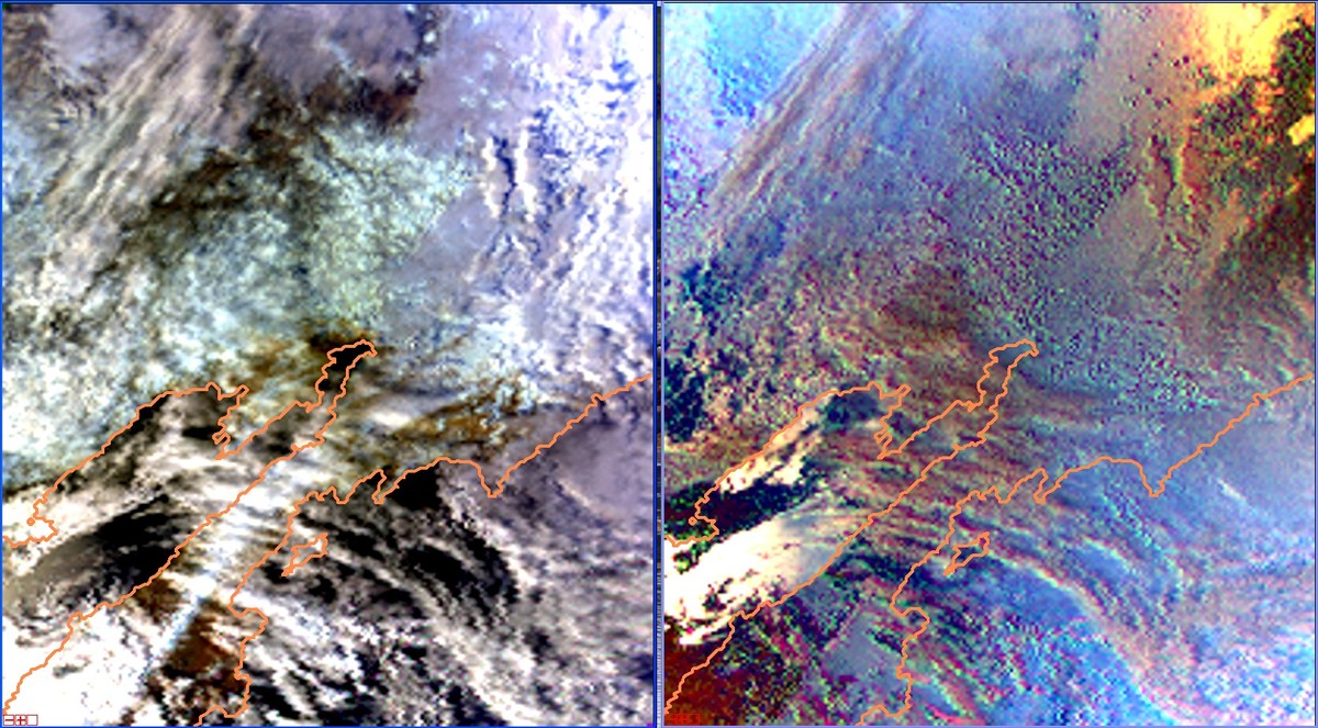
During its life span of 9 years in orbit, the PARASOL mission provided 8 years and 7 months of global aerosol and cloud observations from mid-March 2005 to mid-October 2013 (see also the previous highlight on PARASOL). PARASOL was within the A-Train constellation during nearly 5 years, providing observations coincident with other instruments. The scientific outcome of the mission fulfills and even exceeds the original objectives of the mission. PARASOL contributed to global characterization of aerosol and cloud radiative and microphysical properties. The image on the top shows global seasonal averages of aerosol optical thickness. Many other climatologies of aerosols, clouds, water vapor, and earth radiation budget have been produced and are publicly available (see PARASOL gallery). Moreover, the good quality of the measurements and innovative inversion methods led to unique science products. Thanks to polarization, it is possible to get the size of the droplets at the top of the clouds or information on aerosols even over bright surfaces. Also, the combination of POLDER observations with other observations from the constellation, such as the lidar and/or the radar, led to new parameters not envisioned at first, e.g. the macro-physical properties of clouds (altitude and geometrical thickness) or the presence and the quantization of aerosol plumes over cloudy areas.
The scientists are pursuing the improvement of the science algorithms using PARASOL data alone or combined with other data sets.
The full archive of PARASOL observations will be reprocessed in 2014 and
the latest version of all products will be available at the ICARE Data
and Services Center.